Validation of Geospatial Information in 3D
As a cartography producing body and national reference in the provision of geographic information, it promotes the study, development and implementation of innovative projects, at national and international level.
The sustainability and interaction of all information are based on two basic technologies, CAD (Computer-Aided Design) and GIS (Geographic Information System), the latter already with capabilities to perform spatial operations in a Database with graphics associated with alphanumeric data (identifiers (id's) and attributes).
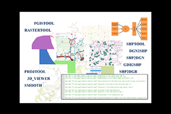
Within an internal process of migration of technologies, information is acquired in GIS, significantly improving in terms of quality, but lacking three-dimensional data validation tools by automatic processes in order to produce geographic information, complete, consistent and coherent, simplifying and improving procedures. In CAD format the geographical entities (roads, buildings, vegetation areas, etc.) are represented by graphic elements (areas, lines and points) and characterized by their graphic attributes (type, level, color, style and thickness). Validating three-dimensional data in this format is a complicated and quite time-consuming computational process, without any relationship between objects, an impractical and unintuitive process for the operators of geographic information and the Military Charter, in particular.
With this project of Validation of Geospatial Information to 3D (VIGeo3D) it was intended to develop a methodology of validation of three-dimensional geographic data in GIS format, with alphanumeric attributes associated with each geographic element, being able to be explored in this format from the moment of the validation itself, with all the capabilities of information analysis inherent (inquiry / selection, neighborhood, surface, networks, Overlay - overlap).
