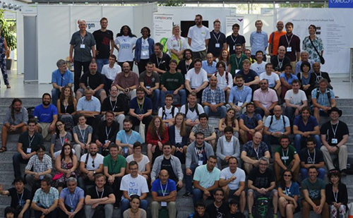
The Foss4G EUROPE 2017 conference, a European event of the Open Source Geospatial Foundation (OSGeo) focused on Free And Open Source Information, took place in Marne-la-Vallée, France, from 18 to 22 July 2017, a European event of the Open Source Geospatial Foundation (OSGeo) focused on Free and Open Source Software for the treatment of Geospatial Information.
Recognized as one of the largest European geospatial technical conferences in Open Source software, The Free and Open Source Software for Geospatial (FOSS4G) is a meeting of professionals, programmers, simple users and advanced users of geospatial software developed in Open Source. Includes presentations and lectures, with code sprint in neat code and sessions, workshops on all open source geospatial technology.
Founded in 2006, OSGeo is a non-profit organization whose mission is to support the collaborative development of open source geospatial software, and promote its widespread use.
Participation in the FOSS4G conference in Marne-la-Vallée, France, provides clear guidance on technical aspects of geospatial software in Open Source and Libraries that can be used in the processing of geographic information, implementations and process optimizations from information acquisition, validation, editing, visualization and printing in the field of cartography.
During the conference, the delegation participated in the following events:
- Workshops (18JUL17);
- Conference (19 to 21JUL17);
- Code Sprint (22JUL17).