SPDIG Historical Retrospective of Printing Techniques
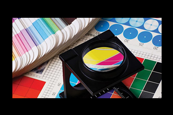
The Digital Preprocessing section (SPDig) is responsible for converting all vector information (Geographic Database) into raster and later analog information, thus creating the Cartographic Database. The processing of all information encompasses a set of processes and activities that allow its further availability:
- (a) Management and maintenance of automatic prepress processes and plotter printing of all internally processed sheets;
- (b) Research and analysis of new prepress methodologies and color control in printed sheets;
- (c) Rasterization, treatment and georeferencing of cartography for the cartoteca, internal processes and to make available to the public;
- (d) "On Demand" availability of raster cartographic products for the satisfaction of specific requests.
